Flint Hills Trail
Overview & Connections
The Flint Hills Trail follows a former railroad corridor through some of Kansas's most distinctive countryside. Traveling east, the scenery changes from rolling tallgrass prairie and open ranchland to farmland, small communities, and wooded river valleys.
Approximately 93 continuous miles are developed between Council Grove and Osawatomie. Plans call for extending the trail west from Council Grove to Herington, eventually bringing the total route to about 118 miles. The Herington extension is planned, not part of the currently developed continuous route. In Ottawa, the trail connects with the Prairie Spirit Trail.
Scenery & Highlights: Three Distinct Sections
1. Council Grove to Bushong — The Open Flint Hills
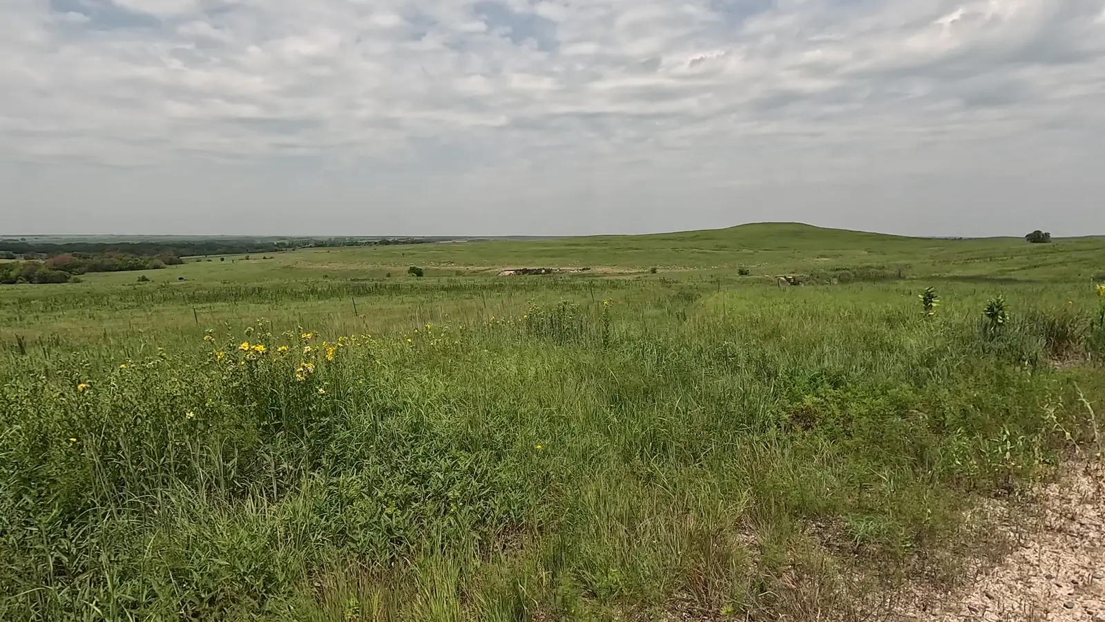
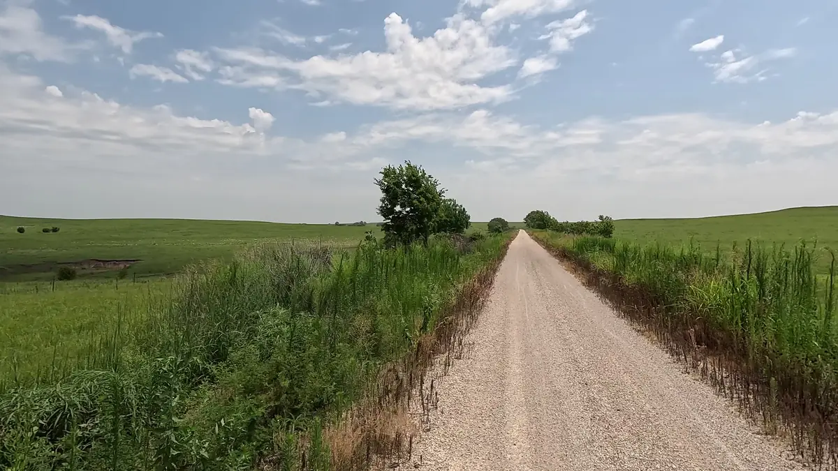
This western stretch showcases rolling hills, native tallgrass prairie, open ranchland, and expansive views. The relatively treeless landscape makes the sky feel enormous and provides the classic Flint Hills experience.
Highlights: Wide prairie views, rolling hills, historic railroad features, and peaceful rural scenery.
2. Bushong to Ottawa — Prairie, Farmland & Small Towns
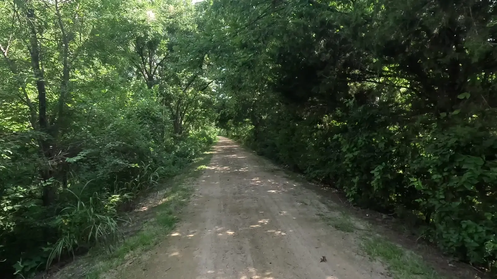
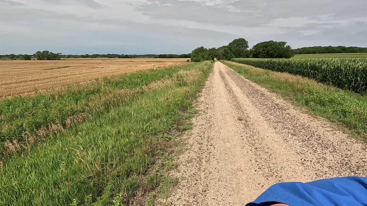
The scenery gradually transitions from the open hills to agricultural land, pockets of trees, and small Kansas towns. Along the way are Allen, Admire, Miller, Osage City, Vassar, and Pomona before the trail reaches Ottawa.
Highlights: Farms and fields, quiet communities, rail-trail bridges, and changing prairie scenery.
3. Ottawa to Osawatomie — Woodlands, Rivers & Bluffs
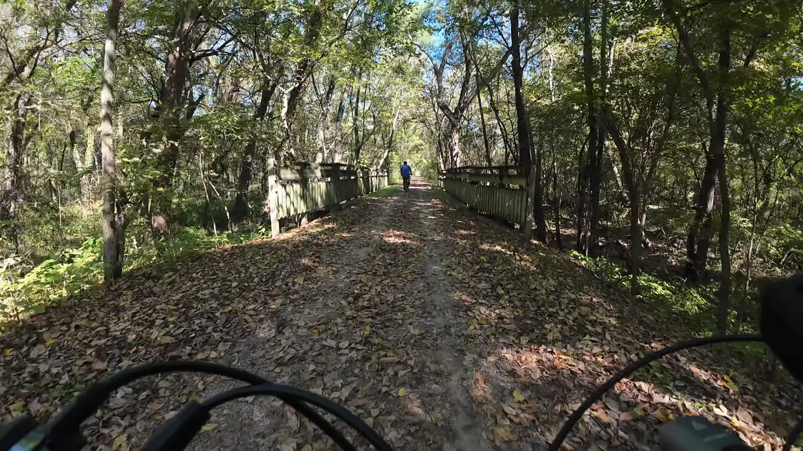
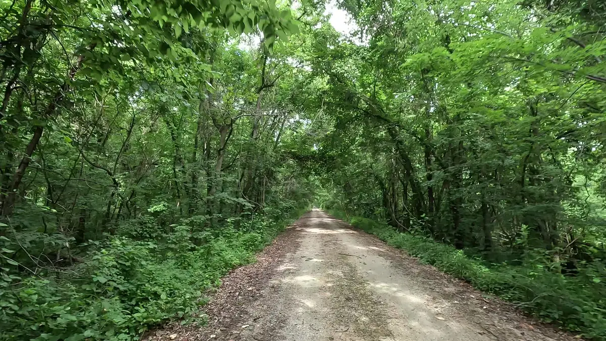
The eastern stretch becomes noticeably more wooded as the trail approaches the river valleys. Shaded corridors, small bluffs, and rocky hillsides create a different experience from the wide-open prairie to the west.
Highlights: Dense greenery, river-valley scenery, small bluffs, and shaded riding.
Trail Surface & Conditions
The Flint Hills Trail is primarily surfaced with crushed limestone. At this stage in its development, the trail surface is fairly consistent and generally firm, except in areas where construction or repairs are taking place. Extended dry periods can cause occasional surface cracks. Heavy storms may leave downed trees, small washouts, or other temporary obstacles.
Rail-Trail Grades & Elevation
Because the route follows an old railroad corridor, the grades are generally gentle rather than steep. But gentle does not always mean easy: you can encounter long stretches that climb slightly uphill for miles at a time. That steady incline may be hard to notice, yet it can make pedaling more demanding, especially with a loaded bike or a headwind. Plan your pace and daily mileage accordingly.
Maintenance & Planning Your Visit
The Kansas Department of Wildlife and Parks does an excellent job maintaining the Flint Hills Trail. Conditions can still change after storms, and facilities are limited along some remote stretches, especially in the west. Bring sufficient water and supplies, verify current trail conditions, and use the planner to find services along your route.