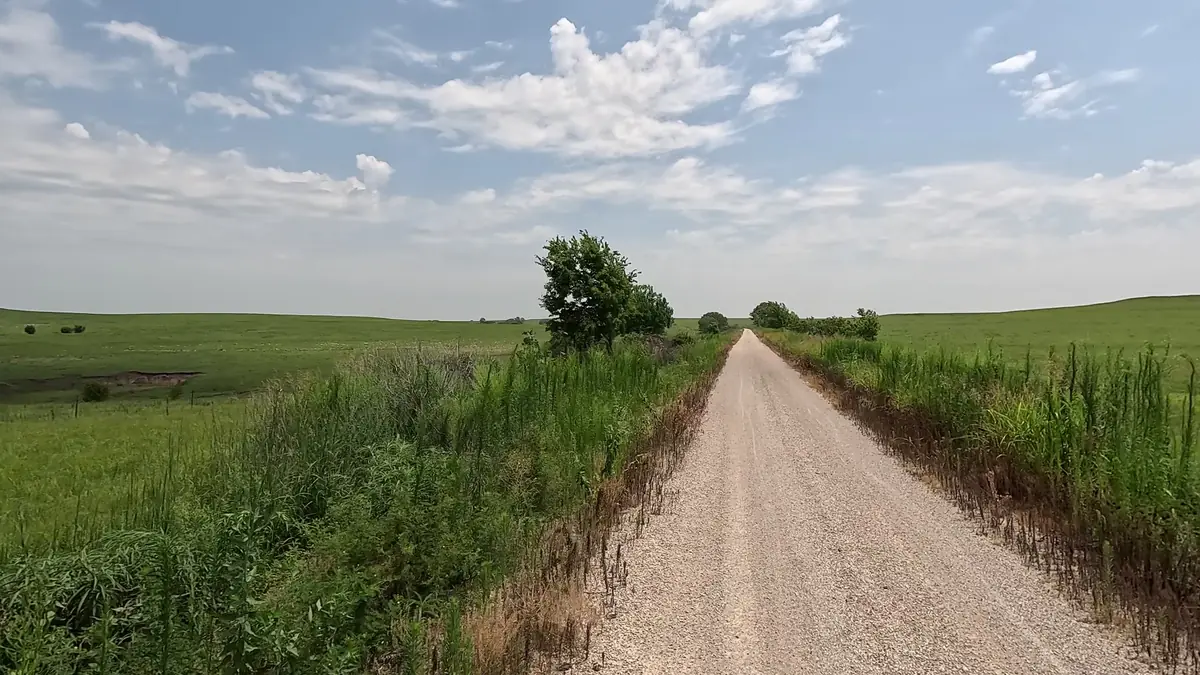
Flint Hills Trail
Open prairie, small towns, historic bridges, farmland, and wooded stretches.
About FHTPlanner.com
A free, community-supported trip planner for the Flint Hills Trail, Prairie Spirit Trail, and Southwind Rail Trail. I built it to make exploring these trails easier—and to help people discover the towns and businesses that make each trip special.
The story behind the planner
I've spent a lot of time exploring Kansas rail-trails by bicycle, and I believe they're some of the best outdoor experiences our state has to offer.
When I was planning my rides on Missouri's Katy Trail, I used online trip-planning tools that helped me figure out mileage, places to stay, and where to find services. Having that information together made planning so much easier. I wanted something like that for our Kansas trails.
Then, after riding the Katy Trail, I couldn't help noticing all the businesses that had grown around it—restaurants, lodging, bike shops, and other places serving trail visitors. I wanted to see those same kinds of opportunities for the small Kansas towns along the Flint Hills Trail.
That's what led me to create FHTPlanner.com. What began with the Flint Hills Trail has grown into one planning resource for the three connected trails, with route tools and information about the communities along them.
Explore Kansas by trail
The Flint Hills Trail connects with the Prairie Spirit Trail in Ottawa, and Prairie Spirit continues south to connect with Southwind in Iola. Explore each trail on its own or plan a longer adventure across the network.
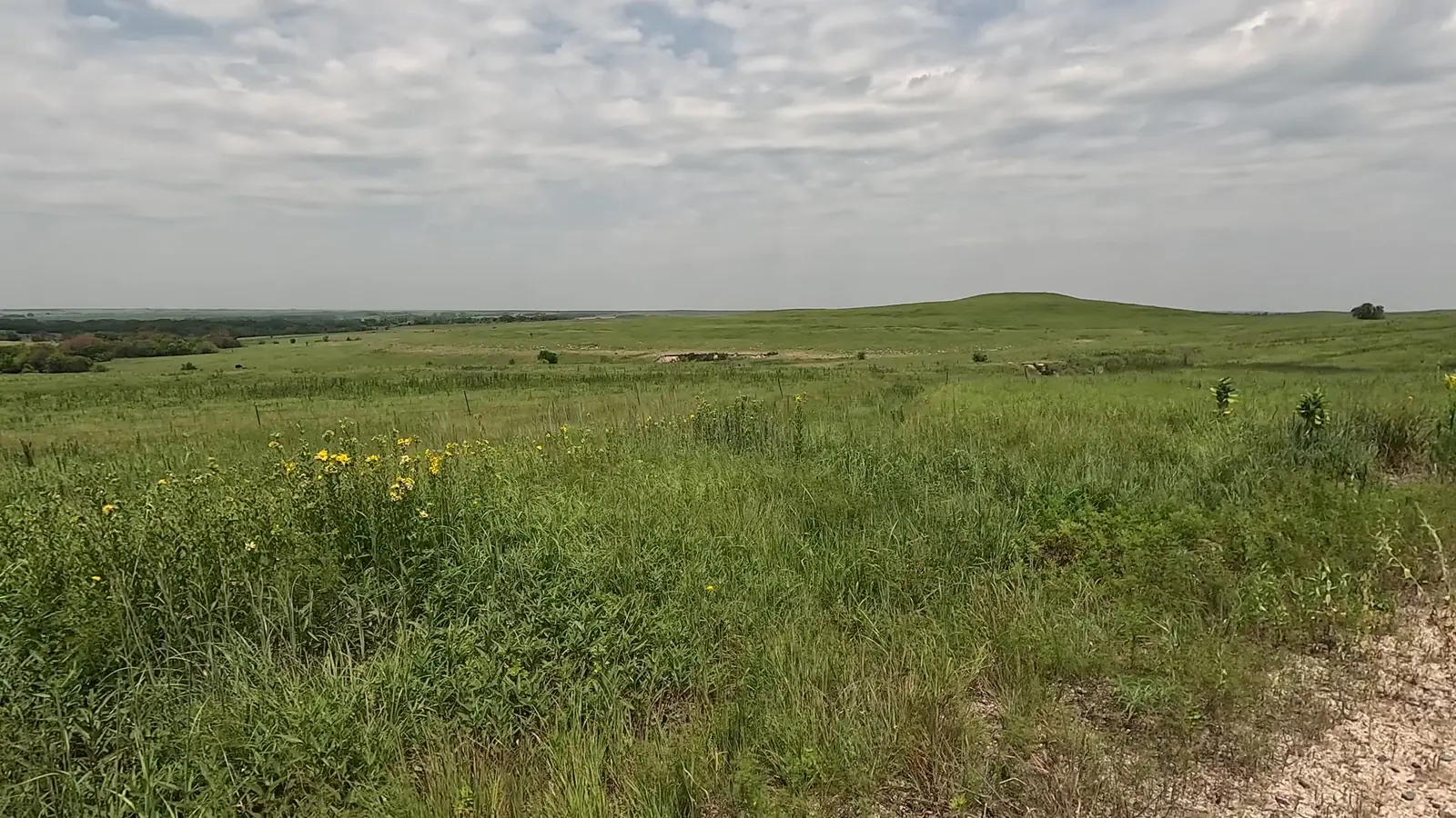
Open prairie, small towns, historic bridges, farmland, and wooded stretches.
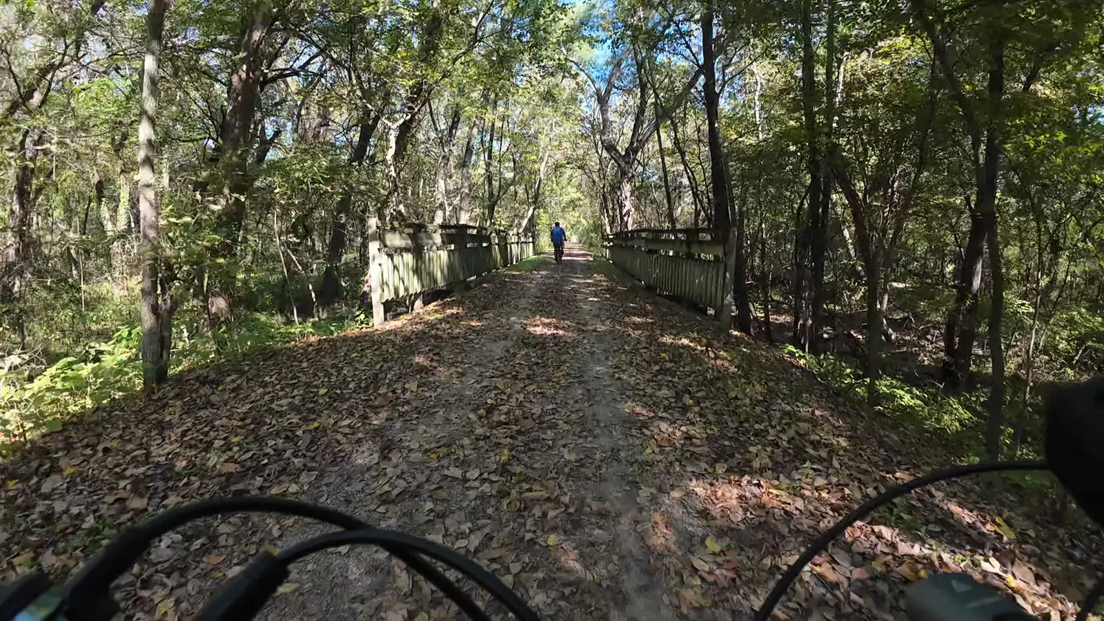
A welcoming route through eastern Kansas communities, fields, and tree-lined corridors.
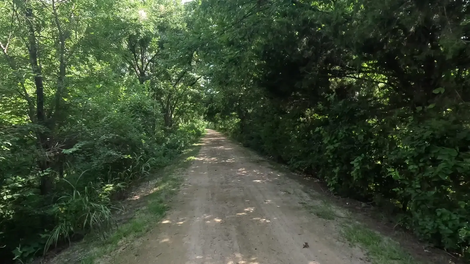
A scenic connection between Iola and Humboldt, perfect on its own or as part of a longer ride.
A planning resource—not a prescribed itinerary
My goal isn't to tell you exactly how to experience the trails. It's to give you useful information to plan your own adventure, whether that's a short outing or a multi-day trip.
Choose start and end towns and see how the three trails connect.
Find listed restaurants, groceries, camping, lodging, and other local businesses.
Check reported water, restrooms, parking, and trailhead resources. Seasonal access can change.
Browse listed shuttle services and bicycle rentals to help make a trip possible.
Read practical information about surfaces, conditions, water gaps, riding direction, and more.
Help keep town and trail resource listings useful by sharing updates and corrections.
Built for the community, improved by the community
FHTPlanner.com is a free, independent community project. Businesses open and close, seasonal water is shut off, and trail conditions change. I do my best to keep the information current, but people who ride, hike, and visit these communities are a huge part of what makes the guide useful.
If you find a missing business, an outdated listing, or something other riders should know, please share it. And if you want to connect with other trail users, you're welcome in the planning group.
Come along for the ride
I also share videos from my adventures on the trails. If you'd like to see what these rides are really like, from the scenery to the small towns and stops along the way, check out my YouTube channel.
I hope this planner helps someone discover a new section of trail, stop at a locally owned restaurant, spend the night in a small town, or take on an adventure they might not have planned otherwise.
If it brings even one more person out to enjoy these incredible Kansas trails, that makes the effort worthwhile.